Météo-France has issued a yellow avalanche alert for the Savoie and Southern French Alps due to an ongoing "retour d'Est" weather event. The alert covers today, Monday 15th November. Between 40 to 60cm (100cm locally in the Queyras) of fresh snow is expected in the area above 2200/2400 meters. The new snow will be accompanied by strong winds from the east which will form accumulations and wind-slab, particularly but not only on a large west sector. The fresh snow will fall on a weak layer formed on the residual snow which has transformed in recent anti cyclonic conditions. There is a possibility of skier / snowshoer triggered avalanches especially close to the Italian border in the Haute-Tarentaise, Thabor, Queyras, Ubaye and Mercantour ranges. These areas are all at risk 3/5 today. There is also a danger of medium to large spontaneous slides during the snowfall.
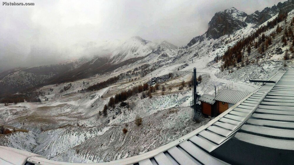
Le Bec, Sauze this morning
Bourg St Maurice avalanche service were on the ground on Saturday close to the Italian border at Val d'Isere. They reported a weak layer from a compression test at 3000 meters just above a crust layer. They also heard whoumps at the same altitude, indicating a real but very localized instability at high altitude. They also reported generally poor snow cover. Skiing was possible above 2500 meters but there was a risk of hitting rocks even at that altitude.
Most high altitude mountain passes are closed but motorists should also be equipped if traveling on in the area with snow tires or chains and check road openings.